OlmoEarth: Democratizing Earth Observation with Open Multimodal Foundation Models

OlmoEarth: Democratizing Earth Observation with Open Multimodal Foundation Models

Published Nov 11, 2025

On November 4, 2025 the Allen Institute for AI launched OlmoEarth, an open, multimodal family of Earth‐observation foundation models and a full platform (Studio, Viewer, APIs, Run) that takes satellite and sensor data through annotation, fine‐tuning and scalable inference. Four compact architectures (Nano to Large) pretrained on terabytes of radar, optical and environmental time‐series deliver state‐of‐the‐art results—outperforming larger specialized models in crop and mangrove mapping and live fuel‐moisture prediction—while reducing processing time and data needs. Early deployments (IFPRI in Kenya, Amazon deforestation monitoring, Global Mangrove Watch, NASA‐JPL) show ~97% mangrove accuracy and faster updates. Fully open weights, code and pipelines lower barriers for resource‐constrained organizations, shifting the bottleneck from algorithm access to operational deployment and democratizing environmental intelligence.
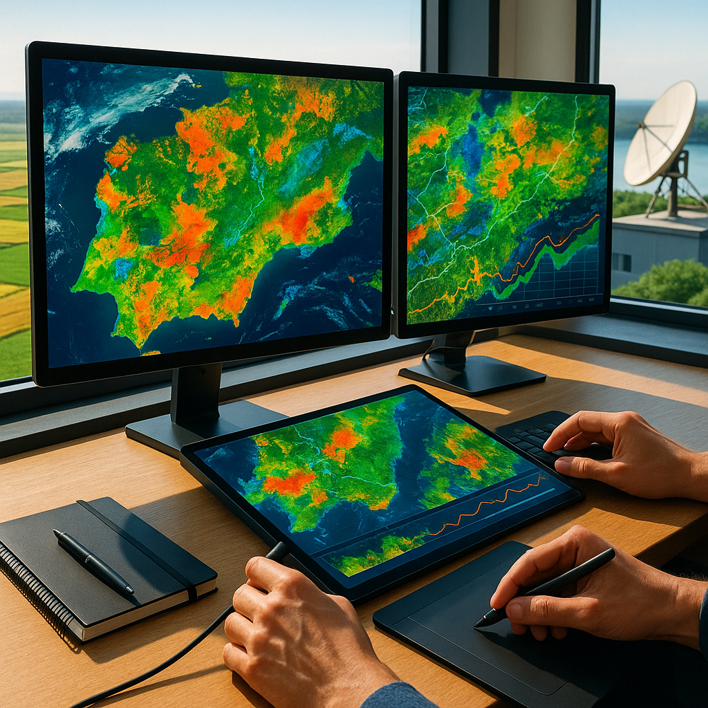
High-Accuracy, Efficient Models Revolutionize Mangrove and Crop Mapping Performance

  • Mangrove mapping accuracy around 97% (Global Mangrove Watch)
  • Processing times reduced by approximately 50% in early partner deployments
  • Outperforms larger specialized models on crop mapping, mangrove classification, and live fuel moisture prediction (state-of-the-art)
  • Achieves these results with models up to only ~300M parameters (strong parameter efficiency)

Managing Risks and Constraints in Open Earth Models for Responsible Use

  • Bold: Dual‐use surveillance and extractive targeting. Open, high‐performing Earth models can supercharge state/corporate monitoring, pinpoint resource exploitation, or aid actors mapping critical infrastructure and evading detection. Probability: medium‐high; Severity: high (human rights, conflict, biodiversity loss). Opportunity: embed sensitive‐area policies, audit trails, and rate‐limits; convene human‐rights review boards. Civil society coalitions, watchdogs, and responsible geospatial firms can lead and differentiate.
  • Bold: Data sovereignty, licensing, and export controls. Training/inference may traverse national restrictions, Indigenous data governance (CARE), and remote‐sensing/export rules; mixing public and partner data risks license conflicts. Probability: medium; Severity: high (injunctions, fines, loss of market access). Opportunity: build provenance-by-design, geo‐fenced compliance SDKs, and policy‐aware deployment modes. Governments, compliance SaaS, and enterprise users gain safer adoption pathways.
  • Bold: Reliability under domain shift and “uncertainty debt.” Environmental regimes shift (new sensors, disasters, land‐use change), making models overconfident and brittle; errors can misallocate subsidies or misguide disaster response. Probability: high; Severity: high. Opportunity: ship calibrated uncertainty, drift detection, active learning with local partners, and human‐in‐the‐loop workflows. Insurers, emergency managers, and agrifood supply chains benefit from trustworthy alerts.
  • Bold: Accountability, liability, and assurance gaps. Open models blur who is responsible when outputs drive permits, enforcement, or compensation claims; emerging rules (e.g., AI Act obligations, high‐risk use audits) raise bar for documentation. Probability: medium; Severity: high. Opportunity: third‐party certification, domain‐specific benchmarks, incident reporting, and “model coverage” insurance. Auditors, standards bodies, and risk‐aware vendors can set de‐facto market norms.

OlmoEarth Platform Expansion and Partnerships Drive Earth Observation Innovation

PeriodMilestoneImpact
Nov–Dec 2025Post-launch scale-up of OlmoEarth Platform (Studio/Viewer/APIs/Run) to broader users with clearer access/pricingAccelerates adoption and budgeting for pilots and production use
Nov–Dec 2025Public case studies from early adopters (IFPRI Kenya crop typing, Amazon Basin deforestation drivers, Global Mangrove Watch updates)Validates accuracy, speed, and cost benefits; draws NGO/government interest
Dec 2025v1.x model/benchmark updates and expanded example pipelines (crop, mangrove, fuel moisture)Improves performance and lowers setup time for common workflows
Jan–Feb 2026NASA-JPL live fuel moisture maps move toward operational cadence using OlmoEarthEnhances wildfire risk planning and emergency readiness
Q1 2026New partnerships and ecosystem integrations (open datasets, partner toolkits, public APIs at scale)Builds network effects and developer traction across Earth observation use cases

Rethinking AI Leadership: How Open Earth Models Shift Power, Not Just Accuracy

Skeptics will say OlmoEarth is another polished demo reel: modest-parameter models parading “state of the art” results that won’t survive the messiness of cloudy pixels, missing labels, and political borders. They’ll warn that “democratization” can mask new dependencies—open weights wrapped in platform gravity—or that open Earth AI can just as easily sharpen extractive surveillance as empower conservation. Even the headline wins invite scrutiny: ~97% mangrove accuracy and ~50% faster processing, reported by partners, are impressive yet context-bound; live fuel moisture maps can feed wildfire preparedness—or risk markets with perverse incentives. And there’s a deeper, uncomfortable critique: when a Seattle lab ships models that outperform bespoke tools in Kenya or the Amazon Basin, are we decentralizing capability or recentralizing authority under the banner of openness?

Yet the more surprising lesson of OlmoEarth is not about size or even accuracy; it’s about tempo and transfer. By fusing radar, optical, and environmental signals into unified, open models that fine-tune with fewer data, Ai2 shifts the bottleneck from algorithmic access to operational deployment. That reorders power. When crop mapping in Kenya updates in hours, not months; when deforestation drivers in the Amazon are flagged in near-real time; when fuel moisture estimates arrive fast enough to alter readiness, the cadence of decision-making changes—and with it, governance. The open evaluation pipelines and full-stack tooling mean trust can be earned through replication, not branding. In that light, the “foundation” is less the 300M-parameter Large model and more the shared workflow that lets non-experts iterate at the speed of events. The counterintuitive conclusion: the next leap in AI leadership may come not from bigger general-purpose LLMs, but from smaller, openly governed Earth models placed closest to the people who must act. The most transformative model is the one that arrives in time.